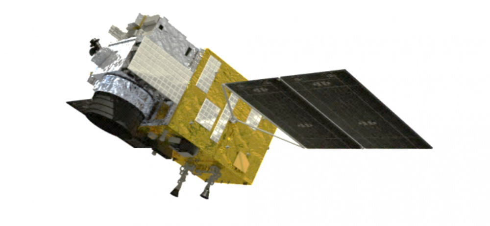
Terrestrial Ecosystem Carbon Inventory Satellite
Terrestrial Ecosystem Carbon Inventory Satellite (TECIS, or named “Goumang”), which is the first forestry satellite in the world detecting carbon sink by combination of active and passive remote sensing supported by the National Civil Space Infrastructure Program. It was successfully launched on August 4th, 2022. TECIS is playing an important role in investigating the carbon sink, ecological condition and resource and estimating the national major ecological project. It will improve China’s voice and leadership in climate change efforts.
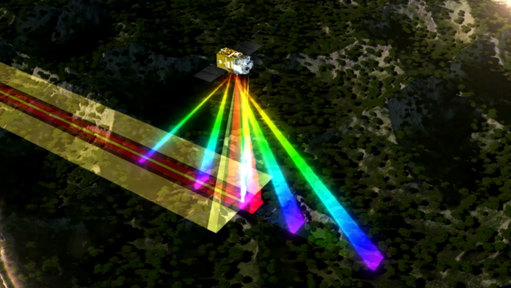
TECIS operates in the 506 km Sun synchronous orbit, with 8 years of design life and 2936kg total weight. It employs diversified remote sensing instruments including lidar, multi-direction, multi-spectrum, hyper-spectrum and polarization. It will survey the aboveground biomass (AGB) of plants and terrestrial ecosystem productivity. It can also detect the aerosol distribution and work for geography mapping, monitoring disasters, evaluating agricultural conditions. This satellite will provide remote sensing service for the clients from the domains of forestry, environmental protection, surveying and mapping, meteorology, agriculture and disaster reduction. TECIS has made great progress in quantification of terrestrial remote sensing in China.